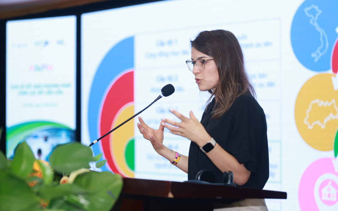
Shanna Lucchesi, coordinadora de proyectos de iRAP, habla en el taller Big Data Results.
DA NANG, Vietnam – 7 de agosto de 2025 – Artículo original publicado por la Fundación AIP
En los últimos años, el Gobierno de Vietnam ha demostrado un firme liderazgo al priorizar la seguridad vial infantil. Tras la Directiva n.° 31 del Primer Ministro (21 de diciembre de 2023) y la Decisión n.° 64 del Ministerio de Transporte (22 de enero de 2024), se han intensificado los esfuerzos nacionales para garantizar el orden y la seguridad vial en las escuelas. Estas acciones se alinean con la visión a largo plazo descrita en la Decisión n.° 2060 (12 de diciembre de 2020), que establece el objetivo de asegurar que el 100% de las zonas de acceso a las escuelas ubicadas a lo largo de carreteras nacionales, provinciales y rutas urbanas clave estén estructuradas para garantizar la seguridad vial y reducir la congestión.
La AI&Me: Aprovechar las herramientas de IA para la seguridad vial El programa utiliza la tecnología para impulsar el cambio y promover un entorno seguro para los niños en las escuelas. El proyecto cuenta con financiación de Google.org, otorgada en la convocatoria IA para los Objetivos Mundiales. Está liderado por International Road Assessment Programme (iRAP), y cuenta con socios como Fundación AIP, ANDITI, y el Facultad de Ingeniería Eléctrica y Computación, y el Facultad de Ciencias del Transporte y del Tráfico, Universidad de Zagreb.
Para presentar los resultados del Análisis de Big Data a nivel nacional, iRAP y la Fundación AIP organizaron conjuntamente un taller sobre "Compartir los Resultados del Análisis de Big Data" con el Gobierno de Vietnam y las partes interesadas nacionales. Los resultados buscaban orientar al gobierno local para priorizar las mejoras en la infraestructura de transporte, contribuyendo así a la reducción de lesiones y muertes causadas por accidentes de tránsito que involucran a estudiantes.
Este evento marcó la primera difusión a nivel nacional de la metodología Big Data Screening, luego de su exitoso piloto en tres provincias de 2021 a 2024. Es la primera vez que la ciencia de datos, la IA y las imágenes satelitales se han aplicado sistemáticamente a escala en Vietnam para evaluar los riesgos de seguridad peatonal para los estudiantes.
“La integración de tecnologías avanzadas como la IA y el aprendizaje automático en las evaluaciones de seguridad vial demuestra nuestro compromiso con soluciones innovadoras basadas en datos”, afirmó Shanna Lucchesi, del Programa Internacional de Evaluación de Carreteras. “Al colaborar con socios gubernamentales y actores internacionales para identificar y abordar las zonas escolares más peligrosas de Vietnam, estamos tomando medidas concretas para proteger a los niños y apoyar los objetivos de la Estrategia Nacional de Seguridad Vial de Vietnam”.
Un enfoque sistemático y basado en datos para escuelas más seguras
Los socios del proyecto, en colaboración con la Fundación AIP, evaluaron los riesgos de seguridad vial en escuelas de todo Vietnam utilizando IA y tecnologías de aprendizaje automático en imágenes satelitales e imágenes de Street View. Esta evaluación identificó escuelas de alto riesgo, lo que dio lugar a recomendaciones para mejoras específicas de la infraestructura.
La metodología de Cribado de Big Data filtra y clasifica sistemáticamente los factores de riesgo para peatones a nivel comunitario. Comienza analizando datos nacionales para identificar las provincias de alto riesgo mediante indicadores socioeconómicos. Posteriormente, estas provincias se reducen a las ciudades o distritos con mayor riesgo utilizando datos rentables. A continuación, se identifican las escuelas de mayor riesgo dentro de estas áreas y se recopilan datos sobre el entorno edificado circundante. Finalmente, los datos de velocidad y flujo de tráfico generan una lista prioritaria de 500 escuelas.
Estas 400 escuelas se someterán a una evaluación más detallada con la metodología de Clasificación por Estrellas para Escuelas, que utiliza IA para categorizar los atributos de las carreteras, agilizar el proceso de evaluación y ampliar considerablemente la cobertura de las zonas escolares. Aproximadamente 40 escuelas han sido priorizadas para mejoras en la infraestructura vial como parte del programa en las provincias de Vinh Long y An Giang, Vietnam.
En general, el análisis de Big Data es un método eficaz para la priorización gracias a su enfoque sistemático y basado en la evidencia. Al aprovechar grandes conjuntos de datos, el análisis de Big Data permite identificar patrones y tendencias que podrían no ser evidentes con los métodos tradicionales. Este enfoque garantiza una asignación eficiente y eficaz de los recursos, lo que se traduce en una mejor toma de decisiones y mejores resultados.
Existe una amplia variedad de fuentes de big data con diferentes coberturas, frecuencias de recopilación, condiciones de licencia y costos. Las fuentes de big data utilizadas en este proyecto incluyen: fuentes de datos abiertos gubernamentales, imágenes satelitales, datos y telemática de Multinet MN-R, e imágenes de Street View. Además, se utilizó un conjunto de imágenes de 360 grados de alrededor de 900 escuelas de todo el país para un análisis más profundo.
Un camino colaborativo hacia zonas escolares más seguras
El taller reunió a funcionarios gubernamentales, representantes del transporte y expertos internacionales en tecnología para explorar cómo los enfoques basados en evidencia y datos pueden guiar las mejoras de la infraestructura de tránsito alrededor de las escuelas, con el objetivo de reducir las lesiones y muertes en las carreteras entre los niños.
“Aprovechar el poder de la IA y la cartografía digital nos permite identificar las condiciones peligrosas de las carreteras cerca de las escuelas con mayor rapidez y precisión que nunca”, afirmó Mirjam Sidik, directora ejecutiva de la Fundación AIP. “Con estos datos, podemos tomar medidas específicas para mejorar las zonas escolares de mayor riesgo y proteger a miles de niños en todo Vietnam. Este enfoque innovador supone un gran avance en nuestra misión de hacer que cada viaje a la escuela sea seguro”.
El programa forma parte de un esfuerzo más amplio para apoyar los Objetivos de Desarrollo Sostenible de las Naciones Unidas, en particular los relacionados con la educación de calidad (ODS 4) y las ciudades y comunidades sostenibles (ODS 11). También se alinea con el Decenio de Acción de las Naciones Unidas para la Seguridad Vial 2021-2030, que insta a los países a reducir las muertes y lesiones por accidentes de tránsito en un 50% para 2030. Todos los niños merecen un viaje seguro a la escuela, y mediante la acción colectiva, soluciones basadas en datos y un compromiso inquebrantable, esta visión puede hacerse realidad en Vietnam.
Enlaces útiles:


")
")
")
")
